#ZIMAS

How does ZIMAS work?

Aerial view of Boyle Heights zoning

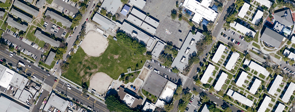
Supporting its portfolio of transparent, easy-to-access services, City Planning maintains the Zone Information and Map Access System, or ZIMAS, to allow individuals to learn more about the City’s neighborhoods and assist residents and businesses in making better informed land use decisions.

How do I receive information on proposed projects?

Image of Downtown LA

City Planning has developed a variety of information-sharing tools to keep Angelenos informed about the type of development projects being proposed and approved in their neighborhoods, especially discretionary projects that require some level of review or sign-off from our Department.

Subscribe to #ZIMAS